Ecuador's great snow cone, made simple: which day tours from Quito really hike to the refuge,
what the summit climb takes, and how to enjoy the altitude.
Volcano status, late September 2026 Cotopaxi is an active volcano that the Instituto Geofísico (IG-EPN) monitors around the clock. In September 2026 its activity was rated low and stable. The José Ribas refuge is open to hikers, and guided summit climbs run with park permits. Rules can change at short notice. Is Cotopaxi open?1 October 2026
Inclusions checkedRefuge hike or not, tour by tour
Real guest ratingsLive GetYourGuide figures, shown as they are
Refund terms per tourEvery option here refunds in full up to 24 hours ahead
Secure checkoutBook on GetYourGuide, instant mobile tickets
Tours
Choose your Cotopaxi tour
In the centre, the classic day from Quito with the hike to the refuge. On the left, the most
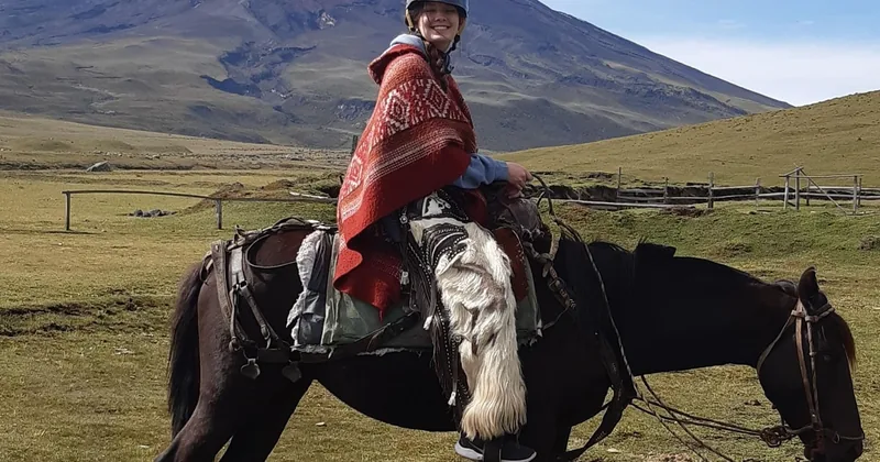
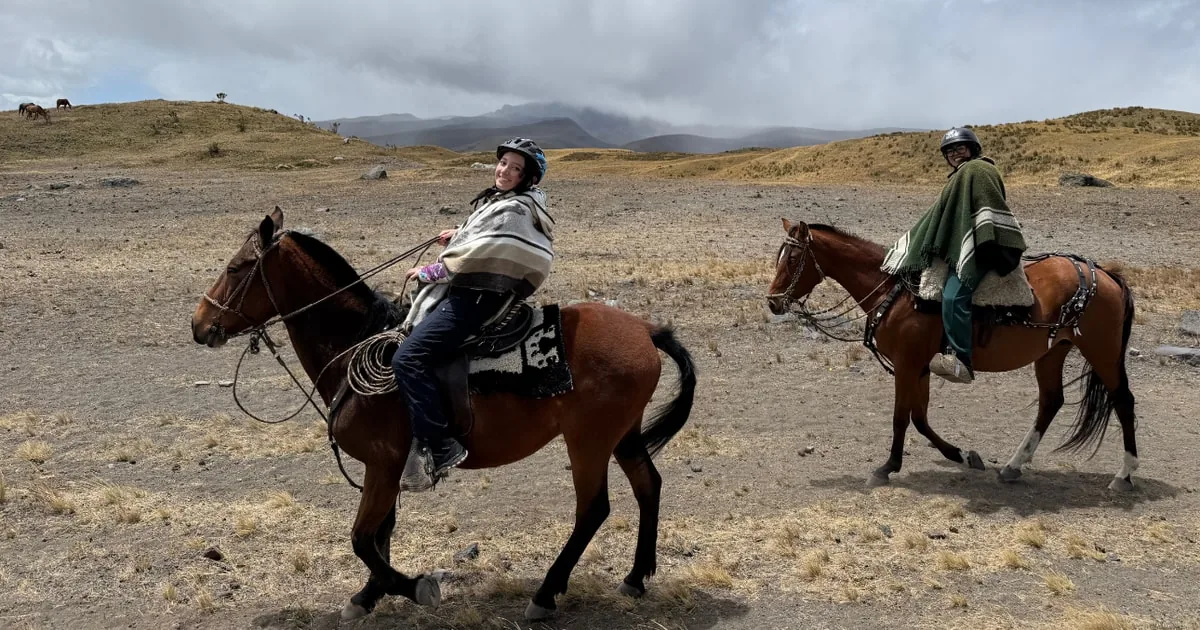
booked day, which adds Quilotoa crater lake but skips the refuge. On the right, a private day on horseback with
the refuge hike after the ride.
The foot of Cotopaxi and a lagoon walk at Limpiopungo, then the long drive to the rim of Quilotoa. A sightseeing day: the refuge hike is not part of it.
What's included
Pickup and drop-off in central Quito
A native guide and an Andean welcome ceremony
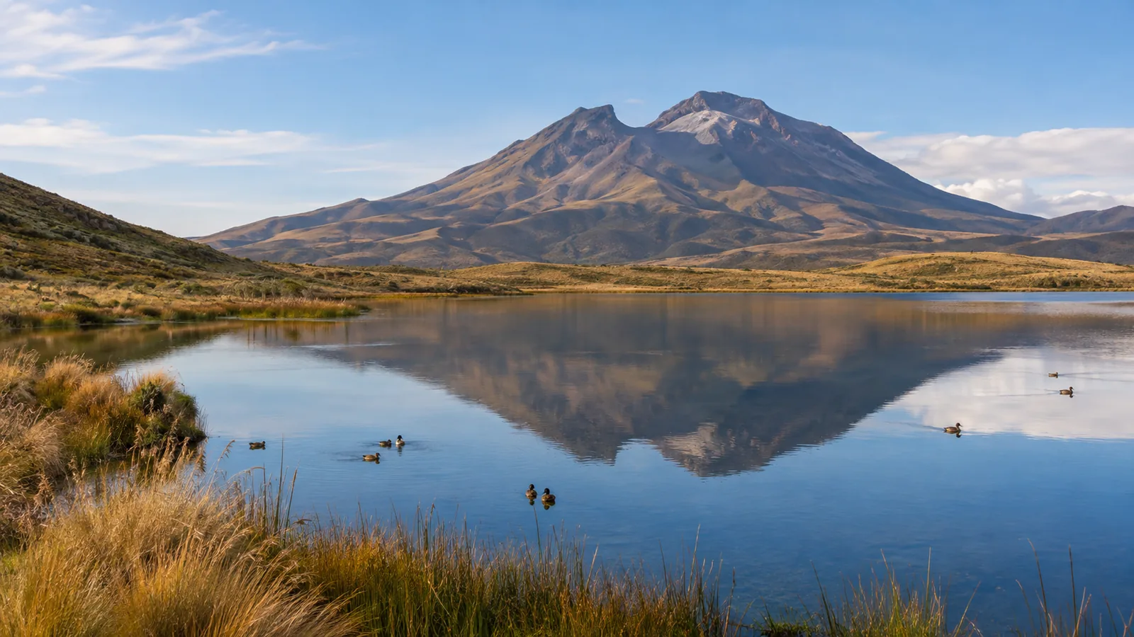
Limpiopungo lagoon walk at the foot of the volcano
A naturalist guide, the visitor centre, Limpiopungo lagoon and the steep hike to the José Ribas refuge. Breakfast and lunch stops on the way, paid on the spot.
The first row is the honest baseline: you can drive into the park yourself, register at the gate
and hike to the refuge without a guide. A tour adds the transport, the rough road to the car park, a guide who
paces you at altitude and, on some of them, a bike or a horse.
Option
Starts
Best for
Length
Rating
Cancel
On your own, no tour
By car via Control Caspi, off the Panamericana
Drivers with a high-clearance car: no ticket needed, register at the gate with your passport, hike to the refuge on your own
The refuge hike starts at the car park at about 4,500 m and takes 45 to 60 minutes up.
Tours that combine Cotopaxi with Quilotoa spend much of the day on the road.
What the tour pages don't tell you
A hike to the refuge, not the summit.
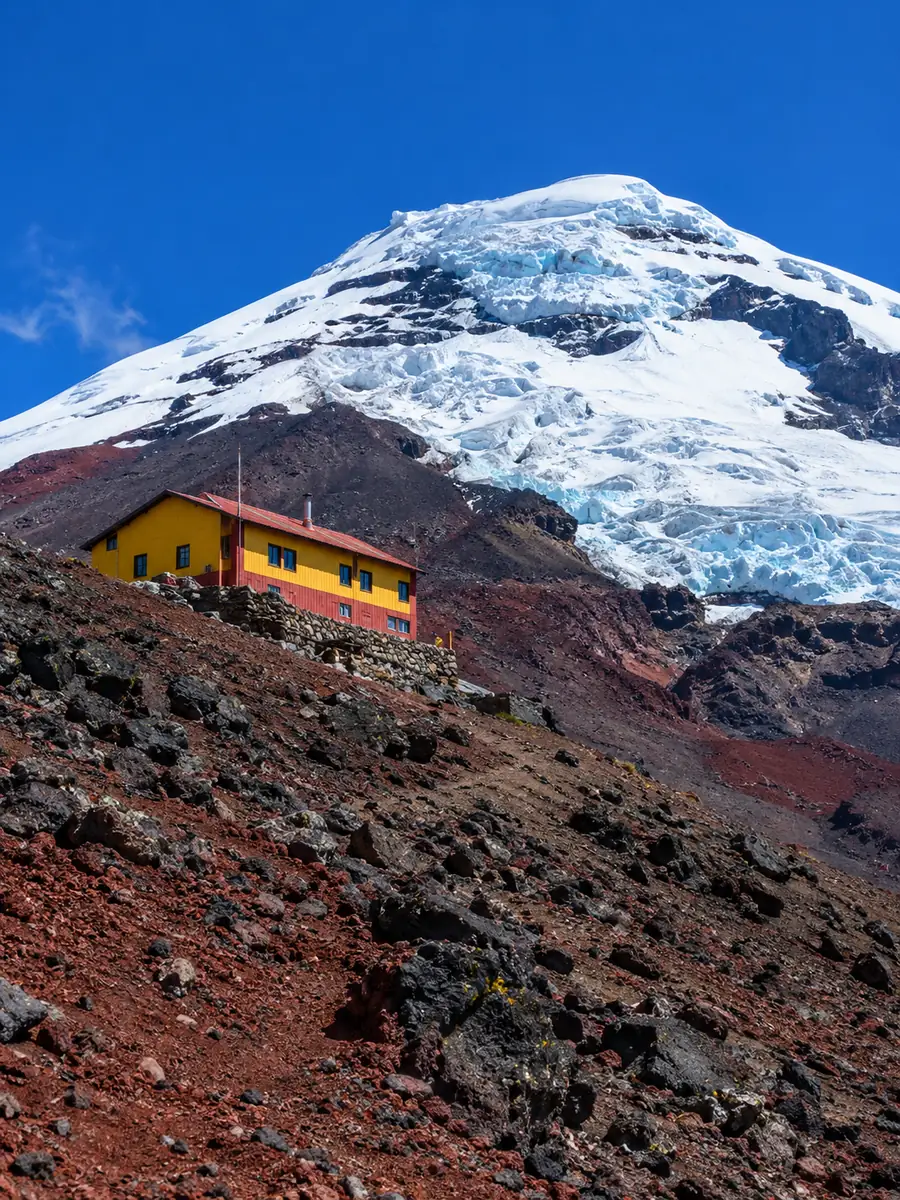
Almost every "Cotopaxi hike" sold as a day trip ends at the José Ribas refuge, 4,864 m, a
yellow-and-red hut below the glacier. Some continue towards the glacier edge at about 5,000 m when the park
allows it. The summit, 5,897 m, is a different thing: a two-day guided climb on the glacier with
crampons and rope, a night at the refuge and a start around midnight.
Two more things to know: not every Cotopaxi tour hikes to the refuge, as the popular one-day
Quilotoa combinations and the short visits stay at Limpiopungo lagoon and the viewpoints; and the cone is
often in cloud by midday, so the early start is part of the plan, not a whim of the operator.
5,897 m
is the summit, one of the highest active volcanoes in
the world. The refuge hike climbs from about 4,500 m to 4,864 m, slowly, because the air is thin.
Refuge 4,864 mSummit 5,897 mNo ticket for the parkClear morningsTwo days for the summit
The José Ribas refuge, where day hikes turn round.
01
How far?
1.5 to 2 hours by road south of Quito.
02
How hard?
45 to 60 minutes up a steep sandy trail, slowly.
03
When?
Early in the day; June to September and December to January.
04
Altitude?
A day or two in Quito first, then walk slowly.
How a day at Cotopaxi works
From Quito to the refuge
A refuge day follows the same rhythm with almost every operator: an early start, a slow climb at
altitude, the lagoon on the way back and lunch in the valley.
01
The drive south
Pickup in Quito between 6:30 and 7:30, then the Avenue of the Volcanoes, with a breakfast stop near Machachi.
1.5 to 2 hours
02
The park gate
Registration with your passport, then a dirt road across the páramo, past wild horses, up to the car park.
About 45 minutes
03
The refuge hike
From about 4,500 m up a zigzag of red volcanic sand to the José Ribas refuge, with a hot drink at the top.
45 to 60 minutes up
04
Lagoon and lunch
Back down on foot, by bike or by van to Limpiopungo lagoon, then lunch in the valley and the drive home.
How the park works, when the gates open, what to bring and how to reach it.
The park: no ticket is needed; you register at the gate with your passport.
The refuge hike: open to hikers, with or without a guide.
The glacier and the summit: only with a certified mountain guide and an operator permit.
Tours: transport, the guide and the registration are handled for you.
Pets: not allowed in the park.
Gates: entry every day from 8:00 to 15:00.
Inside the park: visitors can stay until about 17:00.
Clouds: the cone is clearest in the early morning; cloud builds by late morning.
Summit climbs: start from the refuge around midnight.
Closures: the park can close zones at short notice if the volcano or the weather requires it.
Warm layers: near-freezing wind at the car park, even on sunny days.
A windproof jacket, hat and gloves: you can also buy wool hats and gloves at the first stop.
Sunglasses and strong sunscreen: the equatorial sun burns fast at this height.
Shoes with grip: the refuge trail is loose volcanic sand.
Water, snacks and your passport: for the hike and the gate registration.
With a tour: pickup in Quito, usually La Mariscal, the Old Town or your hotel.
By car: the Panamericana south, then the Control Caspi turn-off; a high-clearance car helps on the upper road.
From the north: Control Norte, via Machachi and El Pedregal.
By bus: towards Latacunga, off at the park turn-off, then a hired pickup truck.
Staying close: Tambopaxi is the only lodge inside the park; haciendas sit nearby.
1802HumboldtHe climbs high on the slopes and names the Avenue of the Volcanoes.
1872First ascentWilhelm Reiss and Ángel Escobar reach the summit.
1877The great eruptionLahars run more than 100 km and reach Latacunga.
1975The national parkThe first on mainland Ecuador.
2022Ash againAn ash eruption from October 2022 to mid-2023.
2024Summit reopensGuided climbs return in stages from February.
Where the hike starts
The car park and the refuge
From the Control Caspi gate to the José Ribas refuge
Parque Nacional Cotopaxi, Cotopaxi province, Ecuador
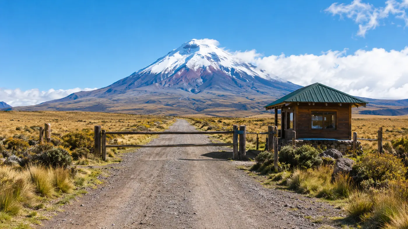
Most tours enter through Control Caspi, the main gate off the Panamericana. A dirt road crosses the páramo
past Limpiopungo lagoon and climbs in hairpins to the car park at about 4,500 m. From there a steep path of
volcanic sand leads to the refuge at 4,864 m. Tours pick you up in Quito and do the driving; the summit climbs
sleep at the refuge.
Quito to the gate: 1.5 to 2 hours by road
Gate to the car park: about 45 minutes on a dirt road
4.8★★★★★ 390 reviews · Cotopaxi day trip with the refuge hike GetYourGuide figure
★★★★★
This was an absolutely fantastic way to visit Cotopaxi National Park from Quito. Pick up was bang on time. Jorge, our guide, smoothly moved between Spanish and English commentary and was funny, warm and so informed of his beautiful country. The hike is tough but so very worth it.
★★★★★
Christian was a really friendly guide and spoke English so well. The clouds cleared so we saw the peak. Quilotoa was beautiful, as was our lunch spot, and we caught the sunset over Cotopaxi on our way home. A great way to see both places in one day.
★★★★★
Our guide Pato was superb. Loads of knowledge about the area and very friendly and helpful. Fantastic horse riding experience, and then a challenging walk up to the refuge. Great meal to follow on the way back to Quito.
★★★★★
A magical and somewhat challenging experience. Our guide, Pamela, was incredibly sweet and very funny. Bring cold weather clothing and be prepared for an intense hike at high altitude with dust, wind and strong sun. It is very much worth it, just come prepared.
★★★★★
We had a wonderful experience with Steven, our guide. He was friendly and knowledgeable and took care to ensure we had an enjoyable day as we travelled to Cotopaxi National Park and saw the volcano and the nearby lagoon.
★★★★★
Gustavo was an amazing guide with so much knowledge about the wildlife, land and history of Cotopaxi. Hiking to the refuge was an amazing experience with beautiful views of the valley along the way. Horseback riding was also fun. My kids loved the whole experience.
★★★★★
Amazing day. Francesca, our indigenous guide in Cotopaxi park, was great: her demonstration and information about the medicinal plants was so interesting. The Quilotoa crater lake is stunning.
★★★★★
Pam was an amazing and knowledgeable guide. We had lots of stops for souvenirs, food and coca tea. Beautiful views. Definitely a strenuous hike but not to an extreme, and beyond worth the view.
★★★★★
This was a wonderful day trip. Irene was such a good guide and was ready to answer any questions. It was nice to get to know the indigenous people and how they live. The hike was tough on the way up but so much worth it.
The other volcano
Quilotoa, the crater lake
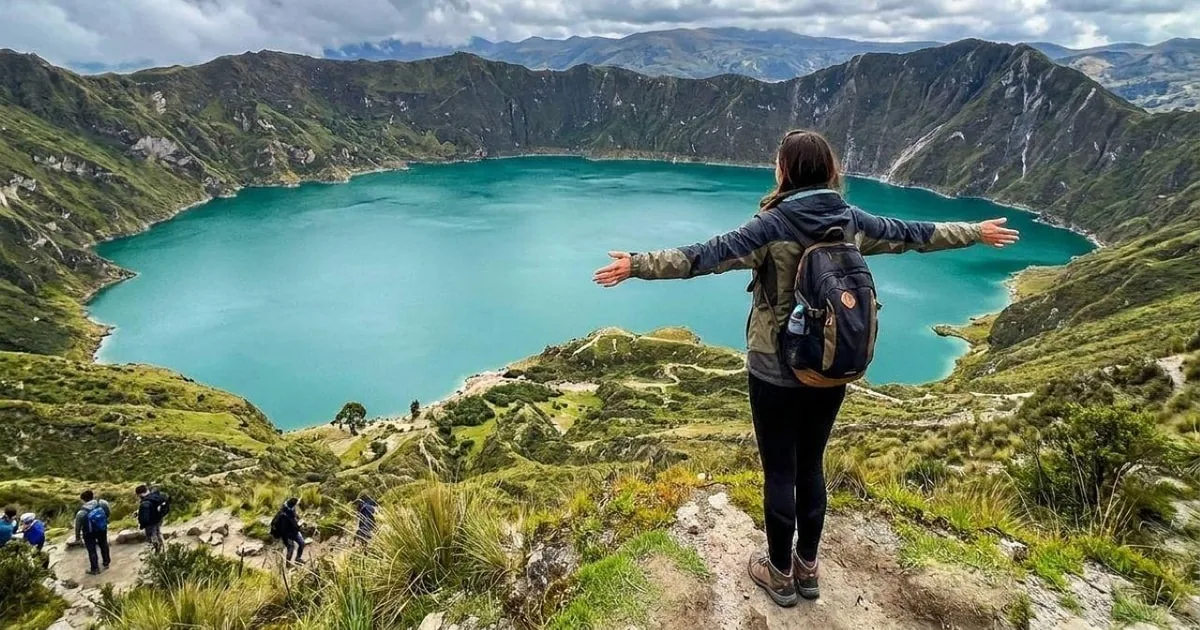
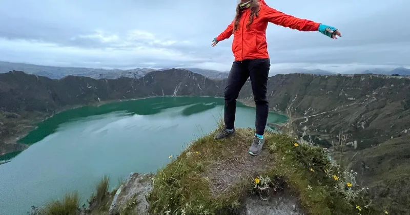
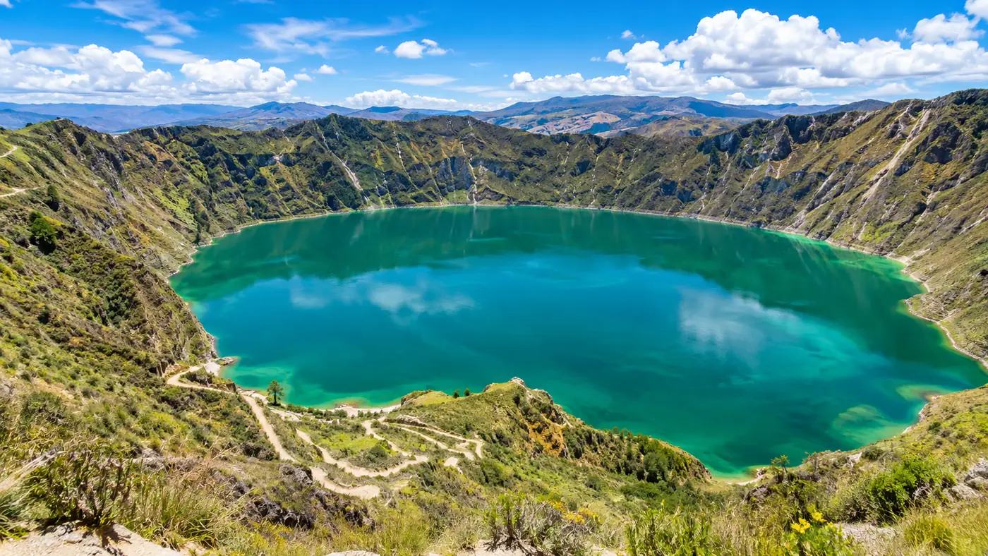
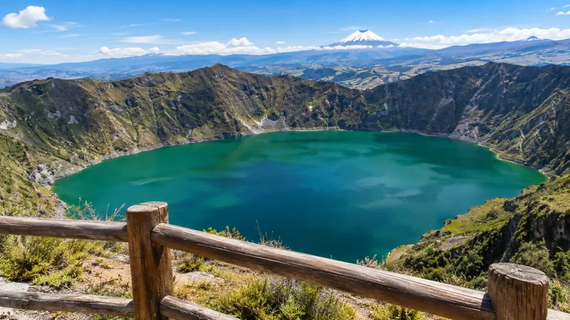
About two hours south-west of the park, Quilotoa holds an emerald lake inside a collapsed volcano.
The one-day combinations only touch it; this day trip gives it the whole day, with the hike down to the water
and back up.
Quilotoa Crater Lake Day Trip from Quito
★ 4.7 · 110 reviews · GetYourGuide
A day for the other volcano. A bilingual guide takes you to the Shalalá viewpoint, then down to the emerald lake inside the Quilotoa crater and back up, with a Tigua painters' workshop and the Toachi canyon on the way home. Full refund if you cancel up to 24 hours ahead.
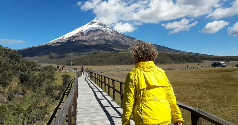
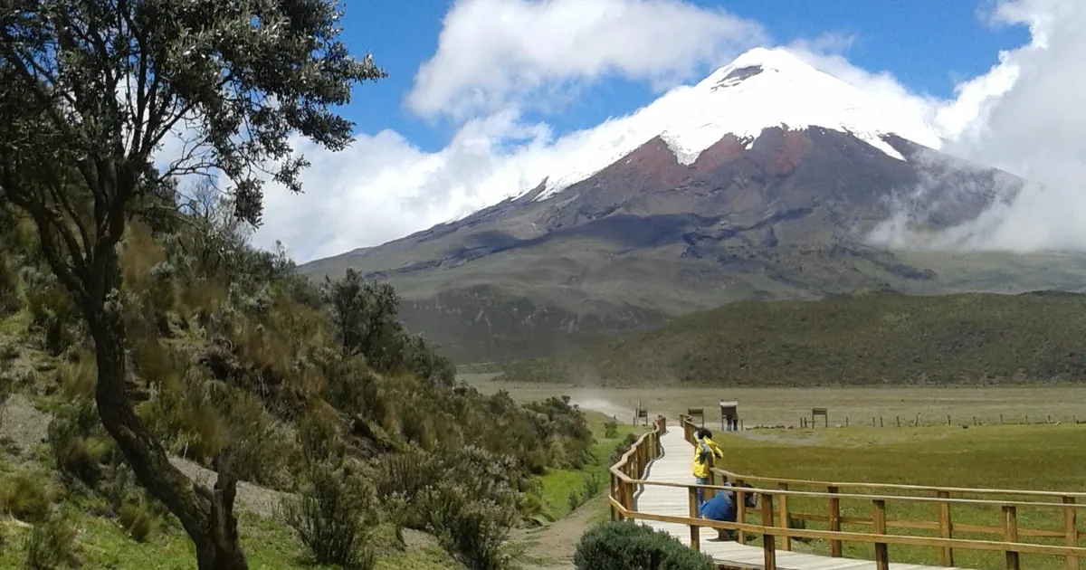
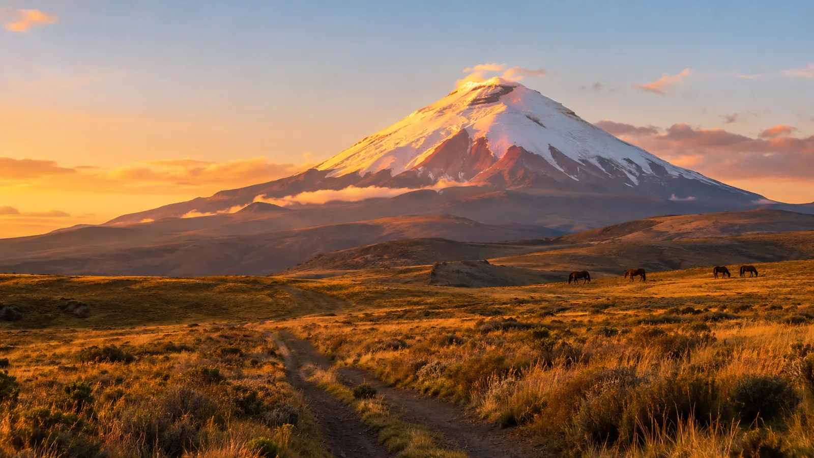
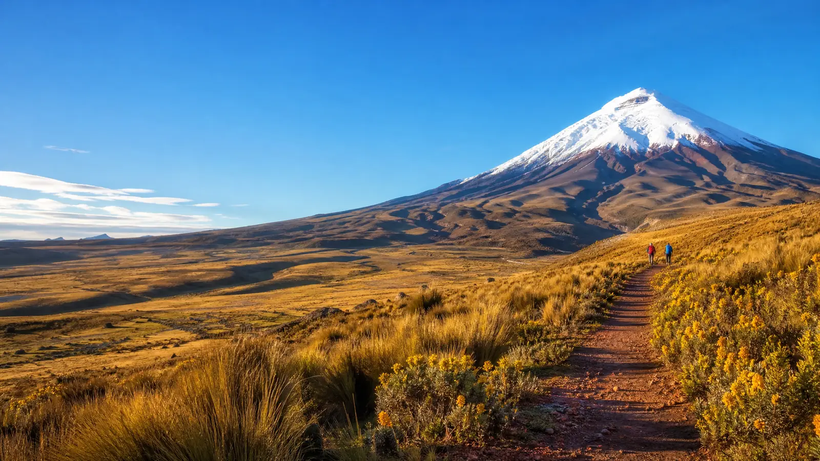
Cotopaxi rises from the high plains south of Quito as an almost perfect cone of snow and ice,
5,897 metres high and one of the highest active volcanoes in the world. Its name is often translated from
Kichwa as "neck of the moon". Around it lies Cotopaxi National Park, created in 1975 as the first national park
on mainland Ecuador, about 33,000 hectares of páramo grassland, lagoons and lava fields.
A volcano that is watched every day
Cotopaxi's great eruption of 26 June 1877 melted its ice cap and sent mudflows more than 100 kilometres down
the valleys, as far as Latacunga. It woke again in 2015 and from October 2022 to mid-2023, with ash and gas.
Today the Instituto Geofísico in Quito monitors it around the clock. In September 2026 it rated the activity low
and stable, the refuge is open to hikers, and guided summit climbs run with park permits after a staged
reopening that began in February 2024.
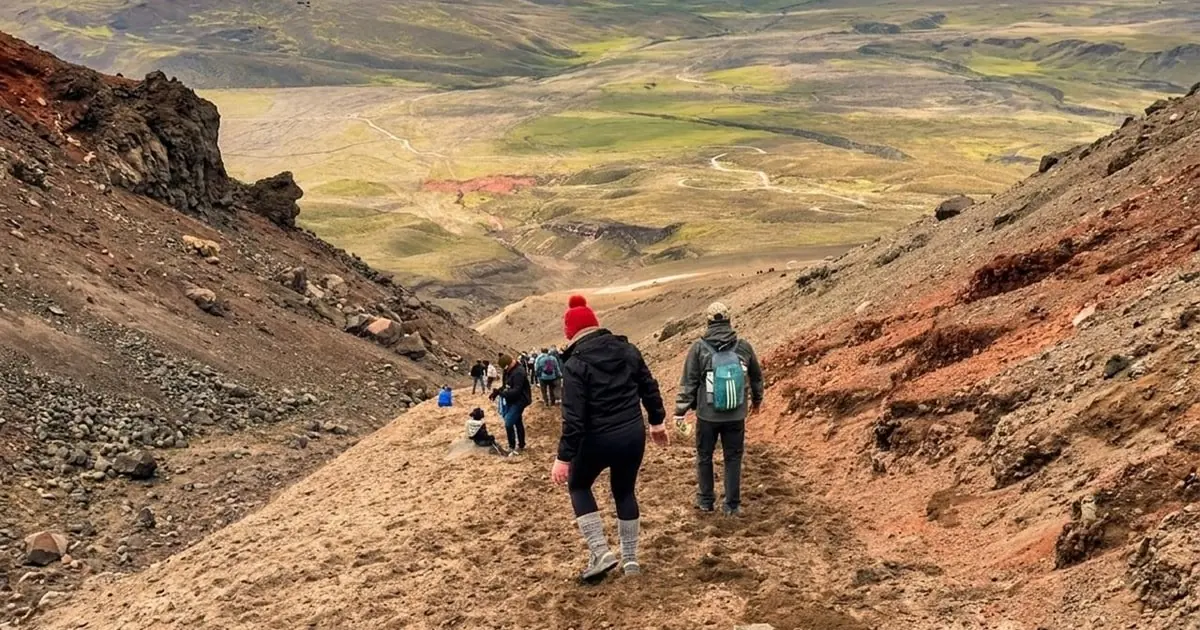
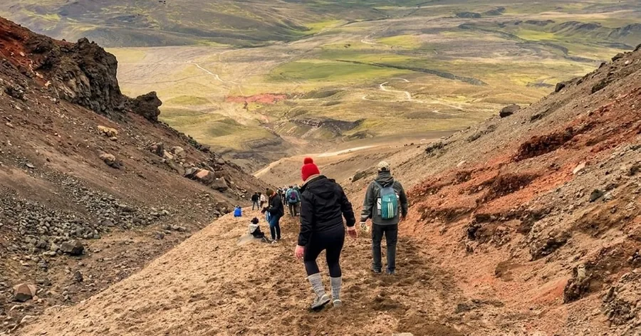
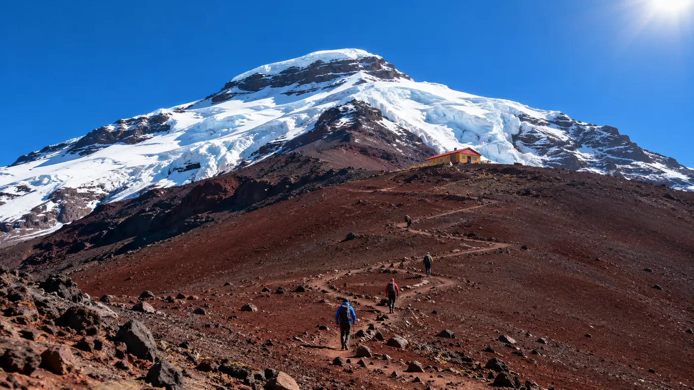
The trail between the car park and the refuge.
The refuge hike
The classic day visit ends at the José Ribas refuge, 4,864 metres, built in 1971 on a ridge of red and black
scree below the glacier. A dirt road climbs to a car park at about 4,500 metres, and from there a steep path of
loose volcanic sand zigzags up in 45 to 60 minutes. It is not technical: the altitude sets the pace, and everyone
walks slowly. Some guided tours continue towards the glacier edge at about 5,000 metres when the park allows it.
The honest small print: no day tour reaches the summit. The popular one-day Quilotoa
combinations and the short visits do not include the refuge hike at all; they stay at Limpiopungo lagoon and
the viewpoints. The cone is often in cloud by midday, so views are never guaranteed.
The summit climb
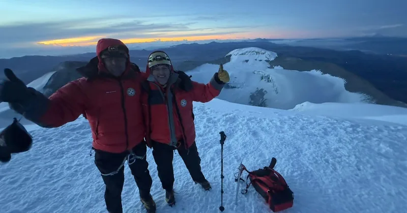
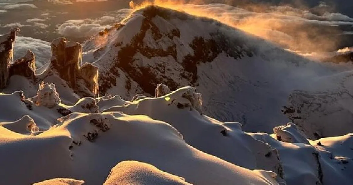
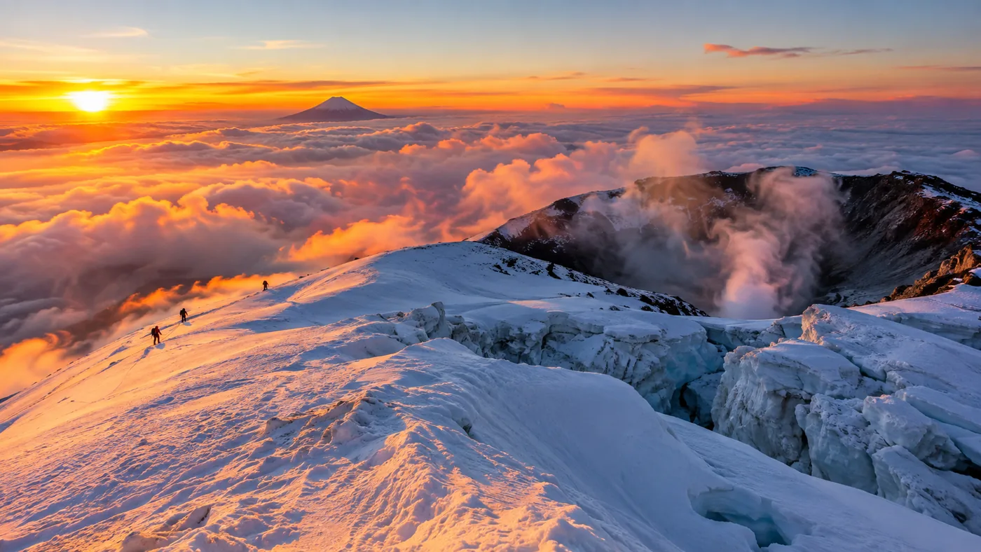
Standing on the crater rim at 5,897 metres is mountaineering. Climbers sleep at the refuge, start around
midnight and climb the glacier roped to a certified ASEGUIM or IFMGA guide, with crampons, ice axe and helmet,
for six to eight hours. Wilhelm Reiss and Ángel Escobar first reached the top in 1872. Today the climb needs a
park quota and several days of acclimatisation, and many climbers turn back because of the altitude or the
weather.
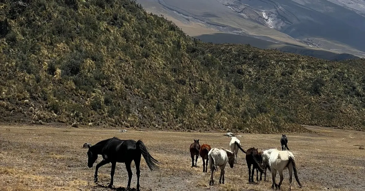
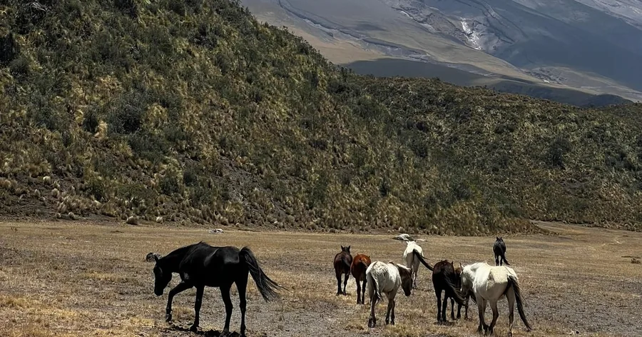
Wild horses on the páramo near Limpiopungo.
The páramo and Limpiopungo
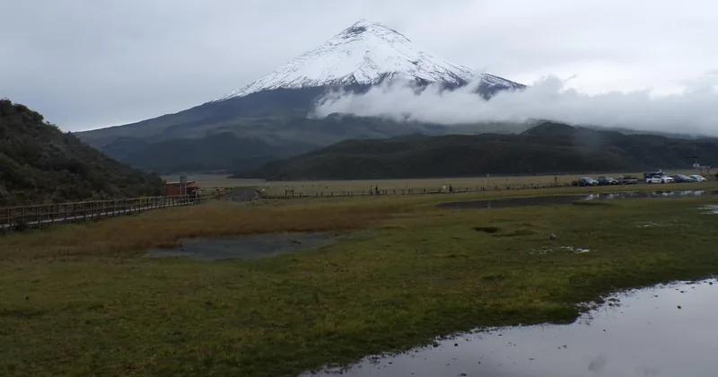
Below the snow line, the park is high grassland. Limpiopungo lagoon, at about 3,800 metres, mirrors the
jagged peaks of Rumiñahui, and an easy trail of about an hour circles part of its shore. Wild horses graze here,
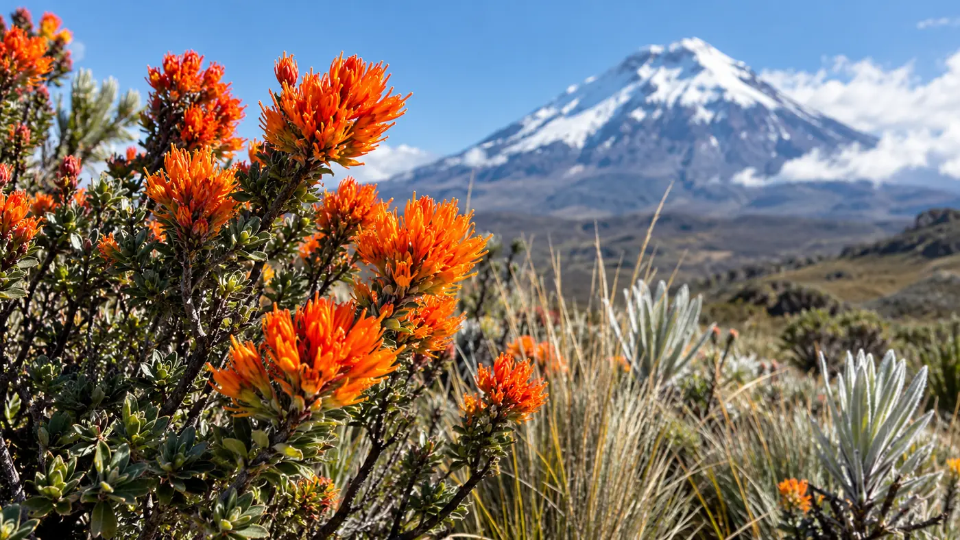
Andean foxes and white-tailed deer appear at the edges of the day, and the orange chuquiragua, Ecuador's
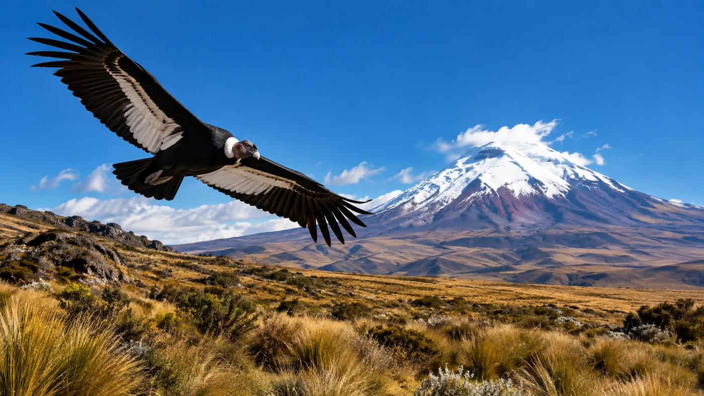
national flower, grows between the tussocks. With luck you may see an Andean condor.
What to know in one line
Spend a day or two in Quito first, choose a tour that really hikes to the refuge if that is your goal, start
early, dress for wind and sun, walk slowly, and keep the summit for a separate two-day climb.
Straight answers to what visitors ask most about Cotopaxi and its tours.
Can you climb Cotopaxi in one day?
Not to the summit. Day tours drive to the car park at about 4,500 m and hike to the José Ribas refuge at 4,864 m. The summit, 5,897 m, is a two-day guided climb with a night at the refuge and a start around midnight. More in the guide to climbing Cotopaxi.
How hard is the hike to the Cotopaxi refuge?
It is short but steep: 45 to 60 minutes up a zigzag of loose volcanic sand, and about half an hour down. The altitude, not the path, makes it hard, so everyone walks slowly. Details in the refuge hike guide.
Is Cotopaxi open to visitors right now?
Yes. In September 2026 the Instituto Geofísico rated the volcano's activity low and stable, the refuge is open to hikers and guided summit climbs run with park permits. Rules can change at short notice. Updates in is Cotopaxi open?
Do you need a ticket for Cotopaxi National Park?
No ticket is needed to enter the park. You register at the gate with your passport. The gates open from 8:00 to 15:00, and visitors inside can stay until about 17:00.
How far is Cotopaxi from Quito?
About 50 km south, or 1.5 to 2 hours by road to the car park. Most day tours pick you up between 6:30 and 7:30 and bring you back to Quito around 17:00 to 18:00.
Will I get altitude sickness at Cotopaxi?
Most visitors feel only mild effects, such as a headache or shortness of breath, because a day trip sleeps back in Quito. Spend a day or two in Quito first, walk slowly and tell your guide if you feel unwell. More in altitude at Cotopaxi.
What should I wear for Cotopaxi?
Layers, a windproof jacket, a warm hat, gloves, sunglasses and strong sunscreen, plus shoes with good grip for the sandy trail. Expect near-freezing wind at the car park even on sunny mornings.
When is the best time to visit Cotopaxi?
June to September and December to January are the driest months. Go early in the day: the cone is usually clearest in the morning, and cloud builds by late morning.
Do you need a guide to climb Cotopaxi?
For the summit, yes: a certified ASEGUIM or IFMGA mountain guide through an operator with a park quota. For the hike to the refuge, no guide is required, but most visitors go with a tour for the transport and the road up.
Can you bike down Cotopaxi?
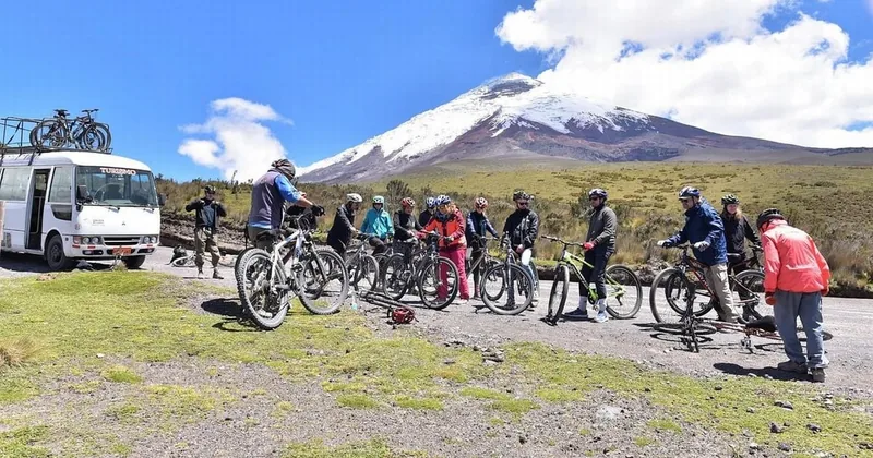
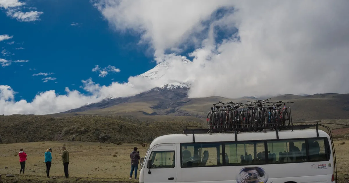
Yes. Several tours bring mountain bikes and let you ride from the car park down to Limpiopungo lagoon, about 30 to 45 minutes on a dirt road, with the van following. You can ride in the van instead.
Cotopaxi or Quilotoa: which should I choose?
Cotopaxi is about the glacier, the high páramo and the refuge hike; Quilotoa is a turquoise crater lake you hike down to. With one day, pick one; with two, do both. More in Cotopaxi or Quilotoa.
Can children go to Cotopaxi?
Yes. Families with young children often stay at Limpiopungo lagoon and the lower viewpoints, which are easy walks. Fit older children often manage the refuge hike; check each tour's minimum age.
Ready to go
One volcano, many ways up.
Or drive in on your own with this guide: instant mobile tickets on GetYourGuide, with the refund terms on every option.

 Most booked
★ 4.110 hours687 reviews